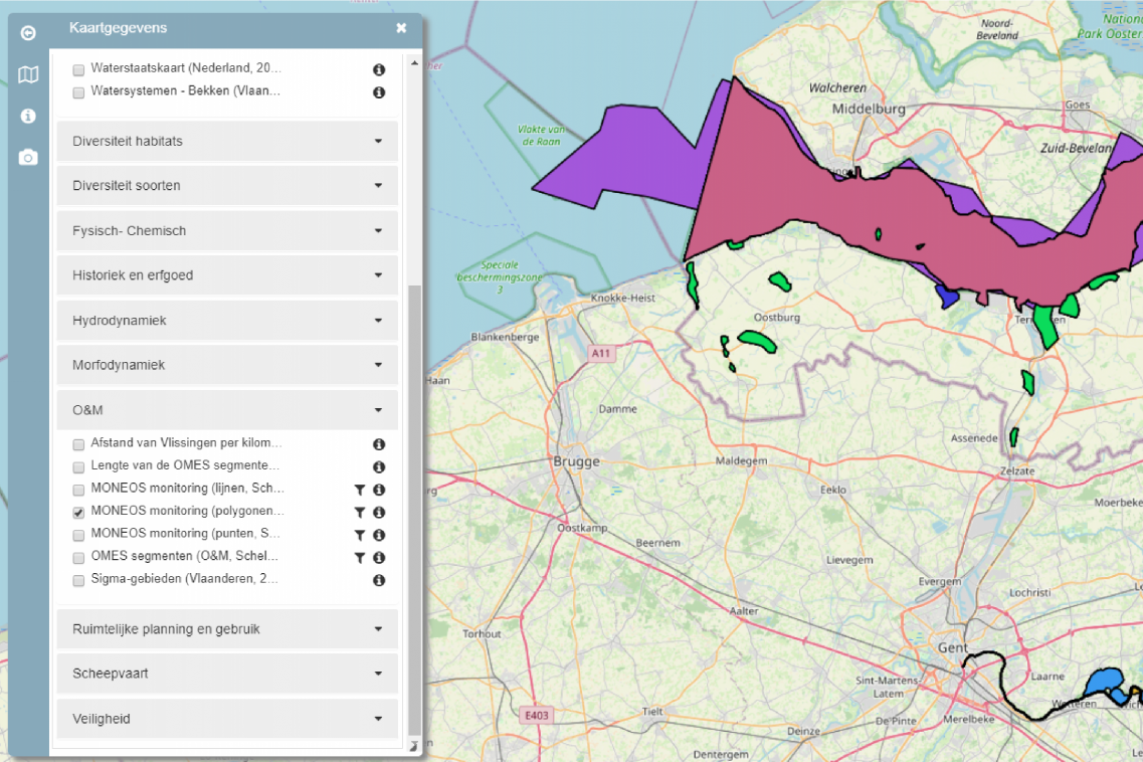
ScheldeMonitor continuously collects spatial products of various sources, providers and institutes. These are visualized and made available via the built-in GIS viewer that was developed by VLIZ and added to the platform in 2016.

Open Spatial (Meta-)Data
In the geoviewer, ScheldeMonitor aims to work with open data as much as possible, meaning data that is freely available and that can therefore be freely requested and downloaded by users of the platform. For some layers this can be done by clicking the i-icon at a certain map layer and then by using the download link to the dataset.
However, this is not possible yet for all spatial products within ScheldeMonitor. Some datasets behind a spatial layer only become available following approval of the original data provider. For this reason, the geoviewer provides a short abstract with each layer, which explains the origin and the processing of the data. The abstract can be found by clicking the i-icon and provides a link to the origin of the dataset behind the specific spatial layer.
Geoserver

The spatial products that can be requested via the ScheldeMonitor portal are also available in the catalog of the underlying Geoserver. This is an open source software server that allows users to catalog, modify and share spatial data in different open formats.
To publish the data, Geoserver uses the Open Geospatial Consortium (OGC) Web Map Service (WMS) Interface Standard. This is an HTTP interface, also referred to as 'web service', with which spatial layers can be extracted from geospatial databases. Such a query of the database, called 'request', is done by compiling a URL. This URL defines which spatial layer is desired within a defined area. The result of this request, called 'response', are shape or grid files that can be visualized in a viewer.
The Geoserver catalogus van VLIZ contains more than 1000 spatial layers. The layers that are available via the ScheldeMonitor platform can be found by entering 'scheldemonitor' as the search term. The spatial layers can be downloaded as following file types:
| GeoJSON | GeoTiff | GeoRSS | AtomHub |
| GIF | Shapefile | PNG | CSV |
| JPEG | Openlayers | SVG | GML |
| KML | Tiff | UTF Grid |